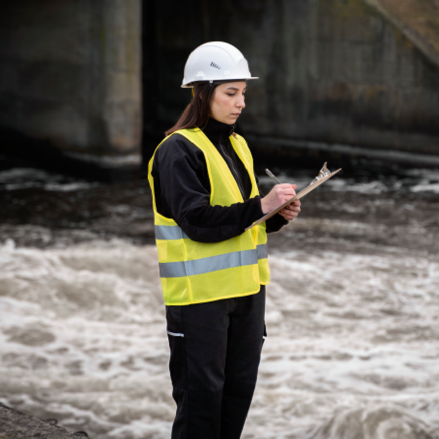
Our hydrographic survey action plan includes precise seabed mapping, data collection, and analysis using advanced sonar and GPS technology to ensure safe navigation, coastal development, and marine infrastructure planning.
Home / Service Detail
Our hydrographic survey action plan includes precise seabed mapping, data collection, and analysis using advanced sonar and GPS technology to ensure safe navigation, coastal development, and marine infrastructure planning.

Our hydrographic survey services provide accurate mapping of underwater terrains using advanced sonar and GPS technologies. Ideal for marine construction, dredging, and navigation projects, ensuring safe and efficient operations. We deliver detailed data on seabed features, depths, and obstructions, supporting informed decision-making for coastal, offshore, and inland waterway developments.We offer precise hydrographic survey services to map underwater features, depth, and seabed conditions. Using modern equipment, we support marine construction, dredging, and navigation projects with reliable data, ensuring safety, efficiency, and compliance in all coastal and offshore operations.
Our hydrographic survey services deliver detailed underwater mapping and depth measurement using advanced sonar and positioning systems. Essential for marine engineering, dredging, and coastal development, we ensure accurate data collection for safe navigation, environmental assessments, and infrastructure planning in harbors, rivers, and offshore sites. Trust us for reliable marine insights.